 vesseltracker.com
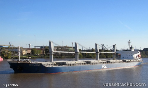
Find the position of the vessel Kamenari on the map. The latter are known coordinates and path.
marine traffic ship tracker show on live map
The current position of vessel Kamenari is 35.1315 lat / -1.86953 lng. Updated: 2025-07-16 11:10:15 UTCCurrently sailing under the flag of St Vincent Grenadines
Kamenari built in 2010 year
Deadweight:
32326 tDetails:
Last coordinates of the vessel:
UTC, 35.1317, -1.86934, course: 258, speed: 0UTC, 35.1315, -1.86927, course: 268, speed: 0
UTC, 35.1316, -1.8694, course: 271, speed: 0
2025-07-16 11:10:15 UTC, 35.1315, -1.86953, course: 280, speed: 0