 vesseltracker.com
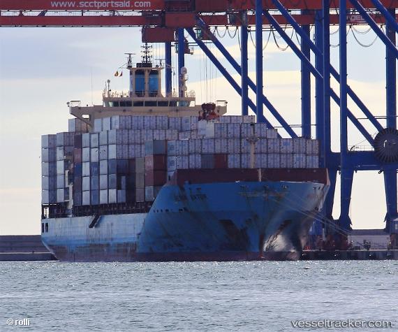
Find the position of the vessel Maersk Batur on the map. The latter are known coordinates and path.
marine traffic ship tracker show on live map
The current position of vessel Maersk Batur is 51.325745 lat / 4.3370183333333 lng. Updated: 2025-11-06 17:47:18 UTCCurrently sailing under the flag of Singapore
Maersk Batur built in 2009 year
Deadweight:
43273 tDetails:
Last coordinates of the vessel:
UTC, 51.325731666667, 4.337065, course: 79, speed: 0UTC, 51.325755, 4.3370416666667, course: 79, speed: 0
UTC, 51.3258, 4.3370383333333, course: 79, speed: 0
2025-11-06 17:47:18 UTC, 51.325745, 4.3370183333333, course: 79, speed: 0.1