 vesseltracker.com
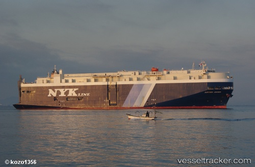
Vessel 'OEL EMIRATES' IMO: 9402756, MMSI: 373363000
UTC, 15.87202, -168.91843, course: 274, speed: 18.2
UTC, 15.90200, -169.22984, course: 278, speed: 17.3
2026-01-17 11:27:44 UTC, 15.93053, -169.50906, course: 277, speed: 18
Live AIS position:
UTC. 48 nm S of Johnston Island),
updated 2026-01-17 11:27:44 UTC.
Find the position of the vessel 'OEL EMIRATES' on the map. The latter are known coordinates and path.
marine traffic ship tracker show on live map
The current position of vessel 'OEL EMIRATES' is 15.93053 lat / -169.50906 lng. Updated: 2026-01-17 11:27:44 UTCDetails:
Last coordinates of the vessel:
UTC, 15.86793, -168.87276, course: 274, speed: 17.9UTC, 15.87202, -168.91843, course: 274, speed: 18.2
UTC, 15.90200, -169.22984, course: 278, speed: 17.3
2026-01-17 11:27:44 UTC, 15.93053, -169.50906, course: 277, speed: 18