 vesseltracker.com
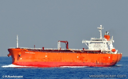
Vessel Atlantic T IMO: 9403322, MMSI: 538008412 Oil Products Tanker
UTC, 1.29962, 104.16505, course: 75, speed: 0
UTC, 1.29998, 104.16520, course: 88, speed: 0
2026-01-17 16:57:28 UTC, 1.29943, 104.16495, course: 72, speed: 0.1
Live AIS position:
UTC. Near PENGERANG),
updated 2026-01-17 16:57:28 UTC.
Find the position of the vessel Atlantic T on the map. The latter are known coordinates and path.
marine traffic ship tracker show on live map
The current position of vessel Atlantic T is 1.29943 lat / 104.16495 lng. Updated: 2026-01-17 16:57:28 UTCDetails:
Last coordinates of the vessel:
UTC, 1.29953, 104.16493, course: 74, speed: 0.1UTC, 1.29962, 104.16505, course: 75, speed: 0
UTC, 1.29998, 104.16520, course: 88, speed: 0
2026-01-17 16:57:28 UTC, 1.29943, 104.16495, course: 72, speed: 0.1