 vesseltracker.com
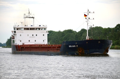
Find the position of the vessel Gelmond 2 on the map. The latter are known coordinates and path.
marine traffic ship tracker show on live map
The current position of vessel Gelmond 2 is 36.86008 lat / 12.65625 lng. Updated: 2025-10-28 20:23:28 UTCCurrently sailing under the flag of Saint Kitts and Nevis
Details:
Last coordinates of the vessel:
UTC, 36.95008, 12.25755, course: 110, speed: 7.2UTC, 36.89873, 12.44087, course: 83, speed: 6.9
UTC, 36.87490, 12.59965, course: 106, speed: 6.8
2025-10-28 20:23:28 UTC, 36.86008, 12.65625, course: 110, speed: 6.8