 vesseltracker.com
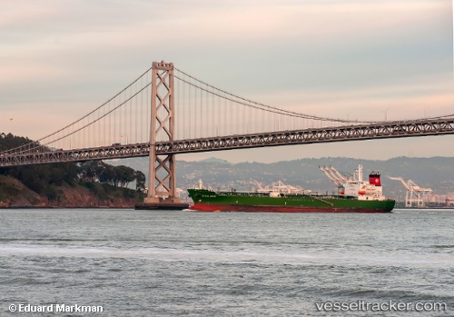
Find the position of the vessel Golden State on the map. The latter are known coordinates and path.
marine traffic ship tracker show on live map
The current position of vessel Golden State is 30.34037 lat / -88.50880 lng. Updated: 2025-11-04 02:29:26 UTCCurrently sailing under the flag of USA
Golden State built in 2008 year
Deadweight:
48632 tDetails:
Last coordinates of the vessel:
UTC, 30.34038, -88.50880, course: 194, speed: 0UTC, 30.34036, -88.50881, course: 194, speed: 0
UTC, 30.34039, -88.50878, course: 194, speed: 0
2025-11-04 02:29:26 UTC, 30.34037, -88.50880, course: 194, speed: 0