 vesseltracker.com
Find the position of the vessel Sunshine State on the map. The latter are known coordinates and path.
marine traffic ship tracker show on live map
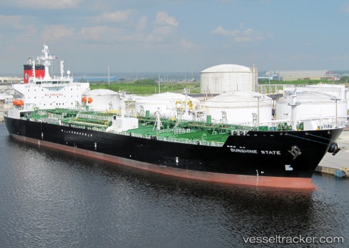
The current position of vessel Sunshine State is 48.86270 lat / -122.76248 lng. Updated: 2025-11-16 05:25:06 UTCCurrently sailing under the flag of USA
Sunshine State built in 2009 year
Deadweight:
48633 tDetails:
Last coordinates of the vessel:
UTC, 48.86268, -122.76248, course: 306, speed: 0UTC, 48.86270, -122.76250, course: 306, speed: 0
UTC, 48.86268, -122.76250, course: 306, speed: 0
2025-11-16 05:25:06 UTC, 48.86270, -122.76248, course: 306, speed: 0