 vesseltracker.com
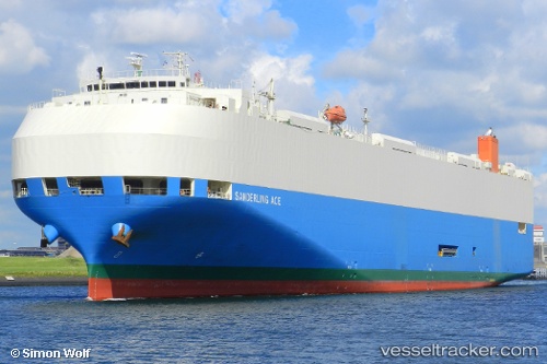
Vessel Sanderling Ace IMO: 9409481, MMSI: 538007573 Vehicles Carrier
UTC, 52.89090, -5.87288, course: 163, speed: 19.1
UTC, 52.23902, -5.88533, course: 176, speed: 16.2
2026-01-20 04:39:32 UTC, 52.01753, -5.88703, course: 179, speed: 14.7
Live AIS position:
UTC. 24 nm W of Saint David's),
updated 2026-01-20 04:39:32 UTC.
Find the position of the vessel Sanderling Ace on the map. The latter are known coordinates and path.
marine traffic ship tracker show on live map
The current position of vessel Sanderling Ace is 52.01753 lat / -5.88703 lng. Updated: 2026-01-20 04:39:32 UTCDetails:
Last coordinates of the vessel:
UTC, 53.26122, -6.01035, course: 160, speed: 15.6UTC, 52.89090, -5.87288, course: 163, speed: 19.1
UTC, 52.23902, -5.88533, course: 176, speed: 16.2
2026-01-20 04:39:32 UTC, 52.01753, -5.88703, course: 179, speed: 14.7