 vesseltracker.com
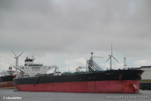
Vessel Karolos IMO: 9410208, MMSI: 636013381 Crude Oil Tanker
UTC, 40.82548, 28.88360, course: 308, speed: 1.3
UTC, 40.81098, 28.87205, course: 95, speed: 3.7
2026-01-16 17:27:52 UTC, 40.80648, 28.89322, course: 140, speed: 1.2
Live AIS position:
UTC. Near Kumport),
updated 2026-01-16 17:27:52 UTC.
Find the position of the vessel Karolos on the map. The latter are known coordinates and path.
marine traffic ship tracker show on live map
The current position of vessel Karolos is 40.80648 lat / 28.89322 lng. Updated: 2026-01-16 17:27:52 UTCDetails:
Last coordinates of the vessel:
UTC, 40.82763, 28.91298, course: 301, speed: 1.2UTC, 40.82548, 28.88360, course: 308, speed: 1.3
UTC, 40.81098, 28.87205, course: 95, speed: 3.7
2026-01-16 17:27:52 UTC, 40.80648, 28.89322, course: 140, speed: 1.2