 vesseltracker.com
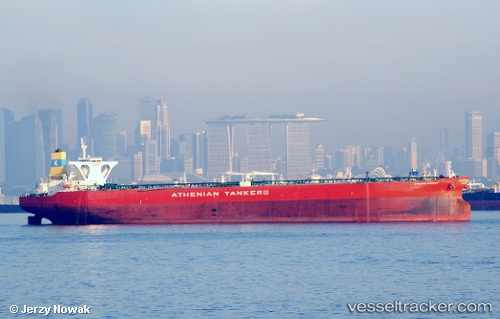
Find the position of the vessel KALLISTA on the map. The latter are known coordinates and path.
marine traffic ship tracker show on live map
The current position of vessel KALLISTA is 25.29498 lat / 53.06070 lng. Updated: 2025-11-06 02:32:29 UTCCurrently sailing under the flag of Panama
KALLISTA built in 2010 year
Deadweight:
317441 tDetails:
Last coordinates of the vessel:
UTC, 25.00707, 53.02410, course: 16, speed: 1.3UTC, 25.12372, 52.99857, course: 315, speed: 10.7
UTC, 25.24960, 53.00475, course: 45, speed: 10.6
2025-11-06 02:32:29 UTC, 25.29498, 53.06070, course: 51, speed: 11.8