 vesseltracker.com
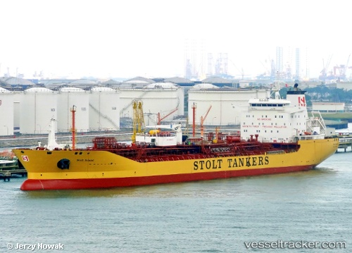
Vessel Stolt Island IMO: 9414058, MMSI: 319963000 Chemical Oil Products Tanker
UTC, 31.17687, 122.60155, course: 179, speed: 0.1
UTC, 31.17561, 122.60306, course: 262, speed: 0
2026-01-17 16:45:56 UTC, 31.17507, 122.60314, course: 273, speed: 0.2
Live AIS position:
UTC. 12 nm NE of Jingjiang),
updated 2026-01-17 16:45:56 UTC.
Find the position of the vessel Stolt Island on the map. The latter are known coordinates and path.
marine traffic ship tracker show on live map
The current position of vessel Stolt Island is 31.17507 lat / 122.60314 lng. Updated: 2026-01-17 16:45:56 UTCCurrently sailing under the flag of Cayman Is
Stolt Island built in 2009 year
Deadweight:
43593 tDetails:
Last coordinates of the vessel:
UTC, 31.17676, 122.60098, course: 159, speed: 0UTC, 31.17687, 122.60155, course: 179, speed: 0.1
UTC, 31.17561, 122.60306, course: 262, speed: 0
2026-01-17 16:45:56 UTC, 31.17507, 122.60314, course: 273, speed: 0.2