 vesseltracker.com
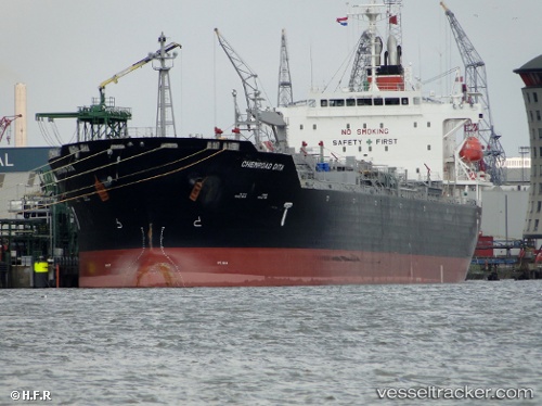
Find the position of the vessel Chemroad Dita on the map. The latter are known coordinates and path.
marine traffic ship tracker show on live map
The current position of vessel Chemroad Dita is 23.93615 lat / 118.77153 lng. Updated: 2025-11-06 14:48:59 UTCCurrently sailing under the flag of Panama
Chemroad Dita built in 2009 year
Deadweight:
33554 tDetails:
Last coordinates of the vessel:
UTC, 24.44249, 119.21361, course: 217, speed: 13.5UTC, 24.38306, 119.16005, course: 218, speed: 13.6
UTC, 24.23280, 119.02279, course: 218, speed: 14.1
2025-11-06 14:48:59 UTC, 23.93615, 118.77153, course: 216, speed: 14.7