 vesseltracker.com
Live AIS position:
27.96667° N, 89.49166° W UTC. 59 nm SE of Loop Terminal),
updated 2025-11-24 06:20:53 UTC.
Find the position of the vessel EIDER on the map. The latter are known coordinates and path.
marine traffic ship tracker show on live map
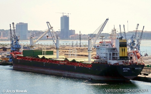
The current position of vessel EIDER is 27.96667 lat / -89.49166 lng. Updated: 2025-11-24 06:20:53 UTCCurrently sailing under the flag of Antigua Barbuda
EIDER built in 2010 year
Deadweight:
29859 tDetails:
Last coordinates of the vessel:
UTC, 28.24500, -89.68500, course: -1, speed: 11UTC, 28.11333, -89.63833, course: -1, speed: 0
UTC, 27.96667, -89.49166, course: -1, speed: 11
2025-11-24 06:20:53 UTC, 27.96667, -89.49166, course: -1, speed: 11