 vesseltracker.com
Find the position of the vessel DEMA on the map. The latter are known coordinates and path.
marine traffic ship tracker show on live map
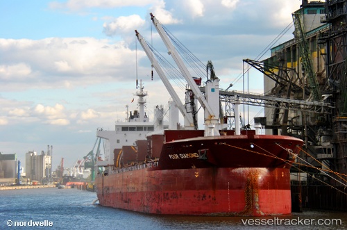
The current position of vessel DEMA is 40.83761 lat / 29.24253 lng. Updated: 2024-02-08 09:01:59 UTCCurrently sailing under the flag of St Vincent Grenadines
DEMA built in 2011 year
Deadweight:
34000 tDetails:
Last coordinates of the vessel:
2024-02-08 09:01:59 UTC, 40.83761, 29.24253, course: 297, speed: 0.1The ship also appears on the maps: