vessel ELIZA II IMO: 9418078, Crude Oil Tanker vesseltracker.com
Vessel ELIZA II IMO: 9418078, Crude Oil Tanker
MMSI: 636020864 callsign: 5LBC2 size: x

Find the position of the vessel ELIZA II on the map. The latter are known coordinates and path.

marine traffic ship tracker show on live map

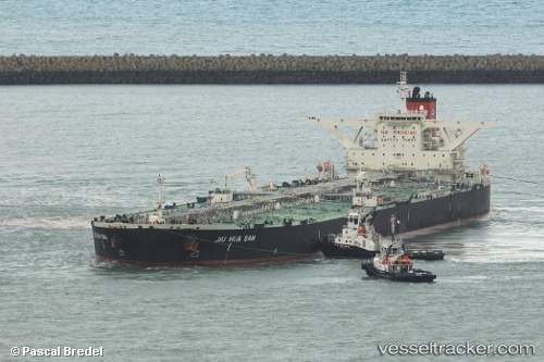
The current position of vessel ELIZA II is -79.7718 lat / 93.0727 lng. Updated: 2025-07-08 08:59:03 UTC

Currently sailing under the flag of Liberia

ELIZA II built in 2009 year

Deadweight:
317977 t

Details:


Last coordinates of the vessel:
UTC, 69.9778, -82.3812, course: 161, speed: 23.1
UTC, -79.7718, 93.0727, course: -1, speed: 41.6
2025-07-08 08:59:03 UTC, -79.7718, 93.0727, course: -1, speed: 41.6


Most frequent ports a vessels calls at ELIZA II (636020864):

Sambu, traffic: 15
Singapore, traffic: 8
Qingdao, traffic: 1

Link to the map:


Find another ship

ELIZA_II (636020864) last ports (portcalls and passsages)

Singapore | 2022-12-22 02:29:54
Singapore | 2022-12-18 02:29:00
Sambu | 2022-01-06 04:15:53
Singapore | 2022-01-06 03:52:31
Singapore | 2022-01-06 03:45:50
Sambu | 2022-01-06 03:45:13
Sambu | 2022-01-06 03:35:03
Sambu | 2022-01-05 05:05:08
Sambu | 2022-01-05 04:40:18