 vesseltracker.com
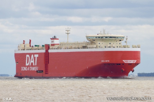
Find the position of the vessel Dong A Metis on the map. The latter are known coordinates and path.
marine traffic ship tracker show on live map
The current position of vessel Dong A Metis is 15.43991 lat / -71.89867 lng. Updated: 2025-11-15 15:20:45 UTCCurrently sailing under the flag of Panama
Dong A Metis built in 2010 year
Deadweight:
22582 tDetails:
Last coordinates of the vessel:
UTC, 15.94397, -71.30188, course: 234, speed: 15.1UTC, 15.64813, -71.64002, course: 190, speed: 15.1
UTC, 15.48912, -71.81991, course: 237, speed: 15.9
2025-11-15 15:20:45 UTC, 15.43991, -71.89867, course: 237, speed: 15.9