 vesseltracker.com
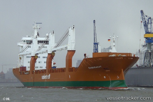
Live AIS position:
18.80952° S, 61.19741° E UTC. 136 nm W of Port Mathurin),
updated 2025-11-23 07:10:55 UTC.
Find the position of the vessel Damgracht on the map. The latter are known coordinates and path.
marine traffic ship tracker show on live map
The current position of vessel Damgracht is -18.80952 lat / 61.19741 lng. Updated: 2025-11-23 07:10:55 UTCDetails:
Last coordinates of the vessel:
UTC, -19.08661, 60.74094, course: 48, speed: 11.3UTC, -18.99000, 60.90667, course: -1, speed: 11
UTC, -18.98884, 60.91063, course: 56, speed: 11.3
2025-11-23 07:10:55 UTC, -18.80952, 61.19741, course: 55, speed: 10.9