 vesseltracker.com
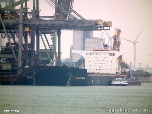
Vessel '636020484' IMO: 9423073, MMSI: 636020484
UTC, -10.85011, -1.00486, course: 325, speed: 9.1
UTC, -10.60292, -1.19997, course: 325, speed: 9.1
2026-01-18 20:29:04 UTC, -10.59210, -1.20828, course: 325, speed: 9.1
Live AIS position:
UTC. 378 nm NE of Levelwood),
updated 2026-01-18 20:29:04 UTC.
Find the position of the vessel '636020484' on the map. The latter are known coordinates and path.
marine traffic ship tracker show on live map
The current position of vessel '636020484' is -10.59210 lat / -1.20828 lng. Updated: 2026-01-18 20:29:04 UTCDetails:
Last coordinates of the vessel:
UTC, -10.86847, -0.98979, course: 325, speed: 9.2UTC, -10.85011, -1.00486, course: 325, speed: 9.1
UTC, -10.60292, -1.19997, course: 325, speed: 9.1
2026-01-18 20:29:04 UTC, -10.59210, -1.20828, course: 325, speed: 9.1