 vesseltracker.com
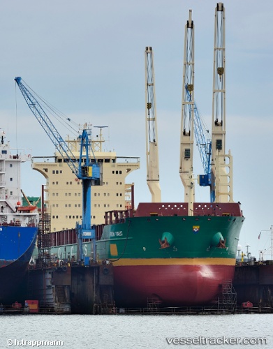
Find the position of the vessel African Forest on the map. The latter are known coordinates and path.
marine traffic ship tracker show on live map
The current position of vessel African Forest is 17.63833 lat / 118.32833 lng. Updated: 2025-11-12 11:02:20 UTCCurrently sailing under the flag of Portugal
African Forest built in 2011 year
Deadweight:
28439 tDetails:
Last coordinates of the vessel:
UTC, 17.12213, 118.14947, course: 9, speed: 9.1UTC, 17.29833, 118.21500, course: -1, speed: 8
UTC, 17.47667, 118.27833, course: -1, speed: 8
2025-11-12 11:02:20 UTC, 17.63833, 118.32833, course: -1, speed: 9