 vesseltracker.com
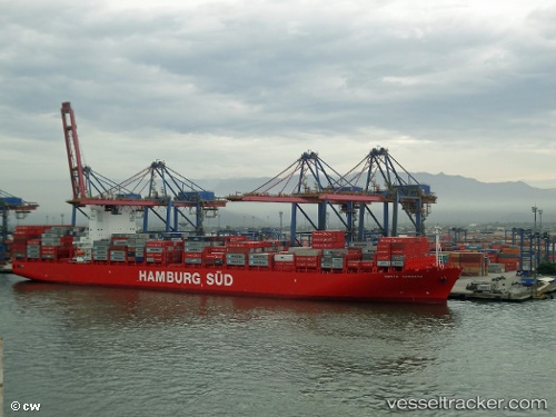
Vessel Santa Barbara IMO: 9430399, MMSI: 219068000 Container Ship
UTC, 49.69281, -135.40895, course: 118, speed: 15.4
UTC, 49.53285, -134.99281, course: 119, speed: 15.6
2026-01-17 10:59:53 UTC, 49.37405, -134.59464, course: 131, speed: 15.7
Live AIS position:
UTC. 213 nm SW of Falkenberg),
updated 2026-01-17 10:59:53 UTC.
Find the position of the vessel Santa Barbara on the map. The latter are known coordinates and path.
marine traffic ship tracker show on live map
The current position of vessel Santa Barbara is 49.37405 lat / -134.59464 lng. Updated: 2026-01-17 10:59:53 UTCCurrently sailing under the flag of Denmark
Santa Barbara built in 2012 year
Deadweight:
92915 tDetails:
Last coordinates of the vessel:
UTC, 49.96333, -136.10167, course: -1, speed: 15UTC, 49.69281, -135.40895, course: 118, speed: 15.4
UTC, 49.53285, -134.99281, course: 119, speed: 15.6
2026-01-17 10:59:53 UTC, 49.37405, -134.59464, course: 131, speed: 15.7