 vesseltracker.com
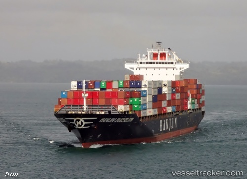
Vessel Tanja Rickmers IMO: 9431692, MMSI: 538003717 Container Ship
UTC, 23.54466, 65.11165, course: 53, speed: 12.3
UTC, 23.66500, 65.28500, course: -1, speed: 11
2026-01-17 17:55:31 UTC, 23.70333, 65.34667, course: -1, speed: 11
Live AIS position:
UTC. 111 nm SW of Kiamari),
updated 2026-01-17 17:55:31 UTC.
Find the position of the vessel Tanja Rickmers on the map. The latter are known coordinates and path.
marine traffic ship tracker show on live map
The current position of vessel Tanja Rickmers is 23.70333 lat / 65.34667 lng. Updated: 2026-01-17 17:55:31 UTCCurrently sailing under the flag of Marshall Is
Tanja Rickmers built in 2009 year
Deadweight:
50591 tDetails:
Last coordinates of the vessel:
UTC, 23.48222, 65.02195, course: 53, speed: 12.3UTC, 23.54466, 65.11165, course: 53, speed: 12.3
UTC, 23.66500, 65.28500, course: -1, speed: 11
2026-01-17 17:55:31 UTC, 23.70333, 65.34667, course: -1, speed: 11