 vesseltracker.com
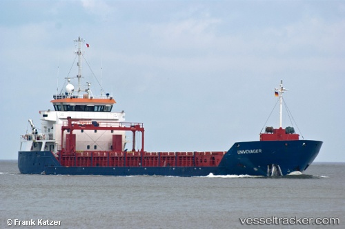
Vessel Ronja IMO: 9434046, MMSI: 212569000 General Cargo Ship
UTC, 60.88333, 18.74333, course: -1, speed: 7
UTC, 60.88333, 18.74333, course: -1, speed: 7
2026-01-16 17:28:31 UTC, 60.64833, 18.86833, course: -1, speed: 6
Live AIS position:
UTC. 27 nm NE of Forsmark),
updated 2026-01-16 17:28:31 UTC.
Find the position of the vessel Ronja on the map. The latter are known coordinates and path.
marine traffic ship tracker show on live map
The current position of vessel Ronja is 60.64833 lat / 18.86833 lng. Updated: 2026-01-16 17:28:31 UTCCurrently sailing under the flag of Cyprus
Ronja built in 2008 year
Deadweight:
4500 tDetails:
Last coordinates of the vessel:
UTC, 60.93500, 18.71833, course: -1, speed: 6UTC, 60.88333, 18.74333, course: -1, speed: 7
UTC, 60.88333, 18.74333, course: -1, speed: 7
2026-01-16 17:28:31 UTC, 60.64833, 18.86833, course: -1, speed: 6