 vesseltracker.com
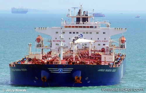
Find the position of the vessel NAUTILUS on the map. The latter are known coordinates and path.
marine traffic ship tracker show on live map
The current position of vessel NAUTILUS is 59.833927154541016 lat / 28.39739990234375 lng. Updated: 2024-12-27 09:17:23 UTCCurrently sailing under the flag of Cook Islands
NAUTILUS built in 2010 year
Deadweight:
108835 tDetails:
Last coordinates of the vessel:
2024-12-27 09:17:23 UTC, 59.833927154541016, 28.39739990234375, course: 129, speed: 0.2