 vesseltracker.com
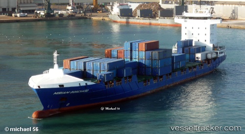
Vessel BG RUBY IMO: 9436202, MMSI: 255771000 Container Ship
UTC, 51.95305, 4.00080, course: 37, speed: 0
UTC, 51.95305, 4.00075, course: 36, speed: 0
2026-01-18 13:08:03 UTC, 51.97459, 4.02135, course: 108, speed: 10.5
Live AIS position:
UTC. Near Haarlemmermeer),
updated 2026-01-18 13:08:03 UTC.
Find the position of the vessel BG RUBY on the map. The latter are known coordinates and path.
marine traffic ship tracker show on live map
The current position of vessel BG RUBY is 51.97459 lat / 4.02135 lng. Updated: 2026-01-18 13:08:03 UTCCurrently sailing under the flag of Portugal (MAR)
BG RUBY built in 2010 year
Deadweight:
9300 tDetails:
Last coordinates of the vessel:
UTC, 51.95305, 4.00077, course: 37, speed: 0.1UTC, 51.95305, 4.00080, course: 37, speed: 0
UTC, 51.95305, 4.00075, course: 36, speed: 0
2026-01-18 13:08:03 UTC, 51.97459, 4.02135, course: 108, speed: 10.5