 vesseltracker.com
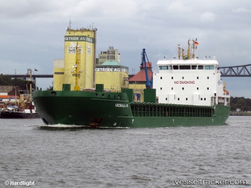
Vessel Nyland IMO: 9436240, MMSI: 210438000 Multi Purpose Carrier
UTC, 60.68525, 17.27424, course: -1, speed: 0
UTC, 60.68525, 17.27425, course: -1, speed: 0
2026-02-27 12:25:38 UTC, 60.68525, 17.27423, course: -1, speed: 0
Live AIS position:
UTC. Near Karskär),
updated 2026-02-27 12:25:38 UTC.
Find the position of the vessel Nyland on the map. The latter are known coordinates and path.
marine traffic ship tracker show on live map
The current position of vessel Nyland is 60.68525 lat / 17.27423 lng. Updated: 2026-02-27 12:25:38 UTCCurrently sailing under the flag of Cyprus
Nyland built in 2009 year
Deadweight:
6777 tDetails:
Last coordinates of the vessel:
UTC, 60.68585, 17.27454, course: -1, speed: 0.3UTC, 60.68525, 17.27424, course: -1, speed: 0
UTC, 60.68525, 17.27425, course: -1, speed: 0
2026-02-27 12:25:38 UTC, 60.68525, 17.27423, course: -1, speed: 0