 vesseltracker.com
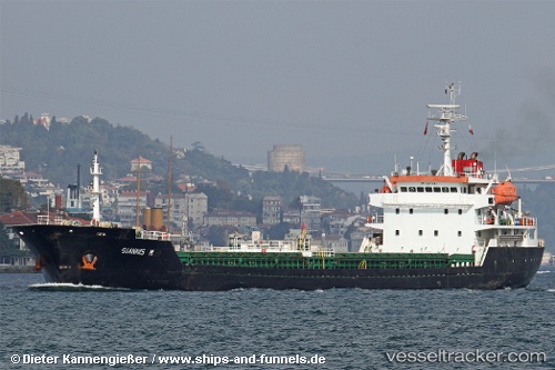
Vessel Adinath IMO: 9437634, MMSI: 419001306 Bulk Carrier
UTC, 6.11333, 79.56667, course: -1, speed: 7
UTC, 6.04773, 79.62352, course: -1, speed: 7
2026-01-17 19:46:12 UTC, 5.91761, 79.72981, course: -1, speed: 7.2
Live AIS position:
UTC. 28 nm SW of Bataduwa),
updated 2026-01-17 19:46:12 UTC.
Find the position of the vessel Adinath on the map. The latter are known coordinates and path.
marine traffic ship tracker show on live map
The current position of vessel Adinath is 5.91761 lat / 79.72981 lng. Updated: 2026-01-17 19:46:12 UTCDetails:
Last coordinates of the vessel:
UTC, 6.22667, 79.48167, course: -1, speed: 8UTC, 6.11333, 79.56667, course: -1, speed: 7
UTC, 6.04773, 79.62352, course: -1, speed: 7
2026-01-17 19:46:12 UTC, 5.91761, 79.72981, course: -1, speed: 7.2