 vesseltracker.com
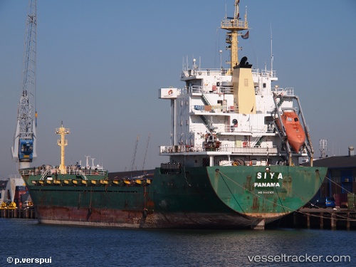
Vessel Siya IMO: 9442108, MMSI: 636020512 General Cargo Ship
UTC, 41.00353, 39.73922, course: 287, speed: 0
UTC, 41.00353, 39.73922, course: 287, speed: 0
2026-01-16 14:52:17 UTC, 41.00353, 39.73922, course: 287, speed: 0
Live AIS position:
UTC. Near Trabzon),
updated 2026-01-16 14:52:17 UTC.
Find the position of the vessel Siya on the map. The latter are known coordinates and path.
marine traffic ship tracker show on live map
The current position of vessel Siya is 41.00353 lat / 39.73922 lng. Updated: 2026-01-16 14:52:17 UTCCurrently sailing under the flag of Liberia
Details:
Last coordinates of the vessel:
UTC, 41.00333, 39.73833, course: -1, speed: 0UTC, 41.00353, 39.73922, course: 287, speed: 0
UTC, 41.00353, 39.73922, course: 287, speed: 0
2026-01-16 14:52:17 UTC, 41.00353, 39.73922, course: 287, speed: 0