 vesseltracker.com
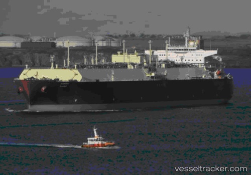
Find the position of the vessel Aamira on the map. The latter are known coordinates and path.
marine traffic ship tracker show on live map
The current position of vessel Aamira is 48.496666666667 lat / -6.9783333333333 lng. Updated: 2025-10-31 01:20:25 UTCCurrently sailing under the flag of Marshall Is
Aamira built in 2010 year
Deadweight:
130026 tDetails:
Last coordinates of the vessel:
UTC, 49.043333333333, -6.3133333333333, course: -1, speed: 14UTC, 48.796666666667, -6.6666666666667, course: -1, speed: 14
UTC, 48.636665, -6.8316666666667, course: -1, speed: 13
2025-10-31 01:20:25 UTC, 48.496666666667, -6.9783333333333, course: -1, speed: 14
The ship also appears on the maps: