 vesseltracker.com
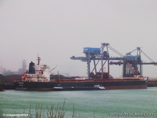
Vessel Coalmax IMO: 9447184, MMSI: 210616000 Bulk Carrier
UTC, 29.05667, 125.90500, course: -1, speed: 11
UTC, 28.51196, 125.70036, course: 198, speed: 11.8
2026-01-18 13:12:46 UTC, 28.31254, 125.63844, course: 192, speed: 11.6
Live AIS position:
UTC. 130 nm NW of Kumejima),
updated 2026-01-18 13:12:46 UTC.
Find the position of the vessel Coalmax on the map. The latter are known coordinates and path.
marine traffic ship tracker show on live map
The current position of vessel Coalmax is 28.31254 lat / 125.63844 lng. Updated: 2026-01-18 13:12:46 UTCDetails:
Last coordinates of the vessel:
UTC, 29.05667, 125.90500, course: -1, speed: 11UTC, 29.05667, 125.90500, course: -1, speed: 11
UTC, 28.51196, 125.70036, course: 198, speed: 11.8
2026-01-18 13:12:46 UTC, 28.31254, 125.63844, course: 192, speed: 11.6