 vesseltracker.com
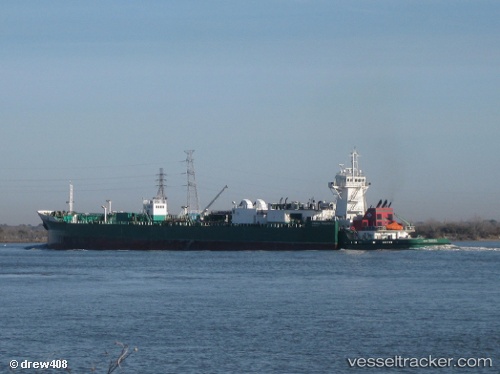
Vessel Freeport IMO: 9447249, MMSI: 367690000 Pusher Tug
UTC, 24.27833, -82.02500, course: -1, speed: 13
UTC, 24.27333, -81.86167, course: -1, speed: 13
2026-01-17 02:52:35 UTC, 24.29833, -81.54167, course: -1, speed: 13
Live AIS position:
UTC. 21 nm SE of Key West),
updated 2026-01-17 02:52:35 UTC.
Find the position of the vessel Freeport on the map. The latter are known coordinates and path.
marine traffic ship tracker show on live map
The current position of vessel Freeport is 24.29833 lat / -81.54167 lng. Updated: 2026-01-17 02:52:35 UTCCurrently sailing under the flag of USA
Freeport built in 2007 year
Deadweight:
1388 tDetails:
Last coordinates of the vessel:
UTC, 24.26333, -82.40500, course: -1, speed: 13UTC, 24.27833, -82.02500, course: -1, speed: 13
UTC, 24.27333, -81.86167, course: -1, speed: 13
2026-01-17 02:52:35 UTC, 24.29833, -81.54167, course: -1, speed: 13