 vesseltracker.com
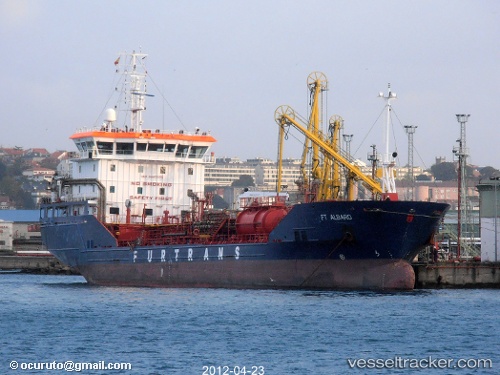
Vessel FT ALBARO IMO: 9447275, MMSI: 215483000 Chemical/Oil Products Tanker
UTC, 43.6678, 13.4058, course: 305, speed: 0
UTC, 43.6678, 13.4058, course: 305, speed: 0
2026-01-17 21:42:15 UTC, 43.6601, 13.4203, course: 63, speed: 3.2
Live AIS position:
UTC. Near FALCONARA),
updated 2026-01-17 21:42:15 UTC.
Find the position of the vessel FT ALBARO on the map. The latter are known coordinates and path.
marine traffic ship tracker show on live map
The current position of vessel FT ALBARO is 43.6601 lat / 13.4203 lng. Updated: 2026-01-17 21:42:15 UTCCurrently sailing under the flag of Malta
FT ALBARO built in 2009 year
Deadweight:
6098 tDetails:
Last coordinates of the vessel:
UTC, 43.6678, 13.4058, course: 305, speed: 0UTC, 43.6678, 13.4058, course: 305, speed: 0
UTC, 43.6678, 13.4058, course: 305, speed: 0
2026-01-17 21:42:15 UTC, 43.6601, 13.4203, course: 63, speed: 3.2