 vesseltracker.com
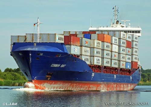
Vessel SKALAR IMO: 9458975, MMSI: 255806476 Container Ship
UTC, 54.34934, 9.99560, course: 50, speed: 6.6
UTC, 54.36841, 10.12537, course: 107, speed: 3.6
2026-01-16 07:58:28 UTC, 54.45556, 10.25344, course: 36, speed: 17.4
Live AIS position:
UTC. Near Wendtorf),
updated 2026-01-16 07:58:28 UTC.
Find the position of the vessel SKALAR on the map. The latter are known coordinates and path.
marine traffic ship tracker show on live map
The current position of vessel SKALAR is 54.45556 lat / 10.25344 lng. Updated: 2026-01-16 07:58:28 UTCCurrently sailing under the flag of Portugal
SKALAR built in 2012 year
Deadweight:
13000 tDetails:
Last coordinates of the vessel:
UTC, 54.15299, 9.37265, course: 60, speed: 6.8UTC, 54.34934, 9.99560, course: 50, speed: 6.6
UTC, 54.36841, 10.12537, course: 107, speed: 3.6
2026-01-16 07:58:28 UTC, 54.45556, 10.25344, course: 36, speed: 17.4