 vesseltracker.com
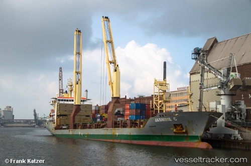
Vessel CAPITAINE KUPE IMO: 9463542, MMSI: 563143200 General Cargo Ship
UTC, -25.47562, -164.49092, course: 238, speed: 12.9
UTC, -25.64873, -164.80997, course: 232, speed: 13.3
2026-01-16 16:55:23 UTC, -25.76340, -164.98573, course: 233, speed: 12.9
Live AIS position:
UTC. 397 nm SW of Avarua),
updated 2026-01-16 16:55:23 UTC.
Find the position of the vessel CAPITAINE KUPE on the map. The latter are known coordinates and path.
marine traffic ship tracker show on live map
The current position of vessel CAPITAINE KUPE is -25.76340 lat / -164.98573 lng. Updated: 2026-01-16 16:55:23 UTCCurrently sailing under the flag of Singapore
CAPITAINE KUPE built in 2010 year
Deadweight:
12927 tDetails:
Last coordinates of the vessel:
UTC, -25.41710, -164.37997, course: 239, speed: 12.9UTC, -25.47562, -164.49092, course: 238, speed: 12.9
UTC, -25.64873, -164.80997, course: 232, speed: 13.3
2026-01-16 16:55:23 UTC, -25.76340, -164.98573, course: 233, speed: 12.9