 vesseltracker.com
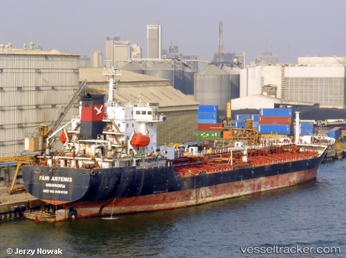
Vessel ARIHANT IMO: 9464156, MMSI: 511100268
UTC, 25.35357, 56.36569, course: 150, speed: 0
UTC, 25.35356, 56.36567, course: 150, speed: 0
2026-01-18 05:28:03 UTC, 25.35367, 56.36571, course: 150, speed: 0
Live AIS position:
UTC. Near KHORFAKKAN),
updated 2026-01-18 05:28:03 UTC.
Find the position of the vessel ARIHANT on the map. The latter are known coordinates and path.
marine traffic ship tracker show on live map
The current position of vessel ARIHANT is 25.35367 lat / 56.36571 lng. Updated: 2026-01-18 05:28:03 UTCDetails:
Last coordinates of the vessel:
UTC, 25.35361, 56.36575, course: 150, speed: 0UTC, 25.35357, 56.36569, course: 150, speed: 0
UTC, 25.35356, 56.36567, course: 150, speed: 0
2026-01-18 05:28:03 UTC, 25.35367, 56.36571, course: 150, speed: 0