 vesseltracker.com
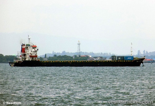
Find the position of the vessel Mv. Bali Kuta on the map. The latter are known coordinates and path.
marine traffic ship tracker show on live map
The current position of vessel Mv. Bali Kuta is -2.40782 lat / 122.77151333333 lng. Updated: 2025-11-04 11:21:19 UTCDetails:
Last coordinates of the vessel:
UTC, -2.40782, 122.77151333333, course: -1, speed: 9.9UTC, -2.40782, 122.77151333333, course: -1, speed: 9.9
UTC, -2.40782, 122.77151333333, course: -1, speed: 9.9
2025-11-04 11:21:19 UTC, -2.40782, 122.77151333333, course: -1, speed: 9.9