 vesseltracker.com
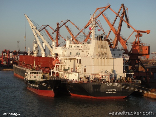
Vessel Warta IMO: 9465849, MMSI: 422040300 Bulk Carrier
UTC, 26.65269, 53.08326, course: 110, speed: 9.6
UTC, 26.65269, 53.08326, course: 110, speed: 9.6
2026-01-18 20:36:28 UTC, 26.57806, 53.29154, course: 114, speed: 9
Live AIS position:
UTC. 13 nm S of Jazireh-Ye Lavan),
updated 2026-01-18 20:36:28 UTC.
Find the position of the vessel Warta on the map. The latter are known coordinates and path.
marine traffic ship tracker show on live map
The current position of vessel Warta is 26.57806 lat / 53.29154 lng. Updated: 2026-01-18 20:36:28 UTCDetails:
Last coordinates of the vessel:
UTC, 26.79146, 52.79716, course: 129, speed: 9.9UTC, 26.65269, 53.08326, course: 110, speed: 9.6
UTC, 26.65269, 53.08326, course: 110, speed: 9.6
2026-01-18 20:36:28 UTC, 26.57806, 53.29154, course: 114, speed: 9