 vesseltracker.com
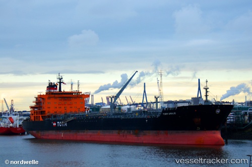
Find the position of the vessel TORM AMALIE on the map. The latter are known coordinates and path.
marine traffic ship tracker show on live map
The current position of vessel TORM AMALIE is 40.208983333333 lat / 7.511825 lng. Updated: 2025-09-16 04:20:37 UTCCurrently sailing under the flag of Denmark (DIS)
TORM AMALIE built in 2011 year
Deadweight:
49999 tDetails:
Last coordinates of the vessel:
UTC, 40.686268333333, 7.43369, course: 167, speed: 12.2UTC, 40.59248, 7.45375, course: 178, speed: 12.6
UTC, 40.419231666667, 7.4627033333333, course: 168, speed: 12.8
2025-09-16 04:20:37 UTC, 40.208983333333, 7.511825, course: 169, speed: 12.6