 vesseltracker.com
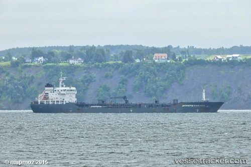
Find the position of the vessel HELIOS on the map. The latter are known coordinates and path.
marine traffic ship tracker show on live map
The current position of vessel HELIOS is -33.65412 lat / -59.56010 lng. Updated: 2025-11-10 07:06:52 UTCCurrently sailing under the flag of Marshall Islands
HELIOS built in 2011 year
Deadweight:
16421 tDetails:
Last coordinates of the vessel:
UTC, -33.80895, -59.34798, course: 20, speed: 8.6UTC, -33.78858, -59.29987, course: 72, speed: 9.2
UTC, -33.73513, -59.41560, course: 279, speed: 9.3
2025-11-10 07:06:52 UTC, -33.65412, -59.56010, course: 210, speed: 9