 vesseltracker.com
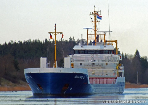
Find the position of the vessel Douwe s on the map. The latter are known coordinates and path.
marine traffic ship tracker show on live map
The current position of vessel Douwe s is 51.4482 lat / 3.54607 lng. Updated: 2025-04-22 20:43:08 UTCCurrently sailing under the flag of Netherlands
Douwe s built in 2011 year
Deadweight:
3637 tDetails:
Last coordinates of the vessel:
UTC, 51.371, 4.10644, course: 270, speed: 9.7UTC, 51.3899, 3.9021, course: 213, speed: 10.6
UTC, 51.3964, 3.76714, course: 305, speed: 10
2025-04-22 20:43:08 UTC, 51.4482, 3.54607, course: 292, speed: 11.5