 vesseltracker.com
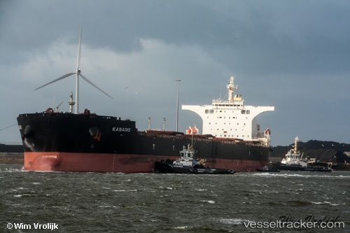
Vessel Kanaris IMO: 9469857, MMSI: 538003746 Bulk Carrier
UTC, 36.08567, -5.39825, course: 256, speed: 0.1
UTC, 36.08762, -5.39913, course: 222, speed: 0
2026-01-17 15:23:17 UTC, 36.08709, -5.39862, course: 240, speed: 0.1
Live AIS position:
UTC. Near Algeciras),
updated 2026-01-17 15:23:17 UTC.
Find the position of the vessel Kanaris on the map. The latter are known coordinates and path.
marine traffic ship tracker show on live map
The current position of vessel Kanaris is 36.08709 lat / -5.39862 lng. Updated: 2026-01-17 15:23:17 UTCCurrently sailing under the flag of Marshall Is
Kanaris built in 2010 year
Deadweight:
178064 tDetails:
Last coordinates of the vessel:
UTC, 36.08592, -5.39873, course: 255, speed: 0.1UTC, 36.08567, -5.39825, course: 256, speed: 0.1
UTC, 36.08762, -5.39913, course: 222, speed: 0
2026-01-17 15:23:17 UTC, 36.08709, -5.39862, course: 240, speed: 0.1