 vesseltracker.com
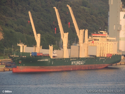
Find the position of the vessel Hyundai Dubai on the map. The latter are known coordinates and path.
marine traffic ship tracker show on live map
The current position of vessel Hyundai Dubai is 20.858333333333 lat / -177.67833333333 lng. Updated: 2025-10-29 13:41:57 UTCCurrently sailing under the flag of Marshall Is
Hyundai Dubai built in 2011 year
Deadweight:
30104 tDetails:
Last coordinates of the vessel:
UTC, 20.7318, -177.14721, course: 285, speed: 13.5UTC, 20.763333333333, -177.26499833333, course: -1, speed: 13
UTC, 20.812958333333, -177.47455, course: 283, speed: 13.3
2025-10-29 13:41:57 UTC, 20.858333333333, -177.67833333333, course: -1, speed: 13