 vesseltracker.com
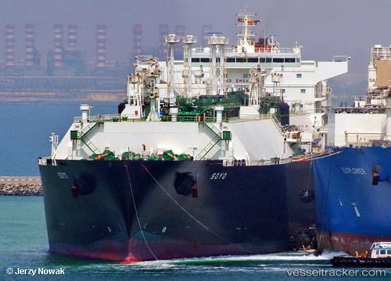
Vessel Soyo IMO: 9475208, MMSI: 311038500 Lng Tanker
UTC, -18.22220, 58.66084, course: 145, speed: 14.3
UTC, -18.27500, 58.69500, course: -1, speed: 14
2026-01-17 15:41:46 UTC, -18.54833, 58.52167, course: -1, speed: 16
Live AIS position:
UTC. 101 nm NE of Cap Malheureux),
updated 2026-01-17 15:41:46 UTC.
Find the position of the vessel Soyo on the map. The latter are known coordinates and path.
marine traffic ship tracker show on live map
The current position of vessel Soyo is -18.54833 lat / 58.52167 lng. Updated: 2026-01-17 15:41:46 UTCCurrently sailing under the flag of Bahamas
Soyo built in 2011 year
Deadweight:
82858 tDetails:
Last coordinates of the vessel:
UTC, -17.98531, 58.49714, course: 144, speed: 14.2UTC, -18.22220, 58.66084, course: 145, speed: 14.3
UTC, -18.27500, 58.69500, course: -1, speed: 14
2026-01-17 15:41:46 UTC, -18.54833, 58.52167, course: -1, speed: 16