 vesseltracker.com
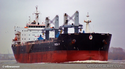
Find the position of the vessel Magda P on the map. The latter are known coordinates and path.
marine traffic ship tracker show on live map
The current position of vessel Magda P is 37.90324 lat / 122.29781 lng. Updated: 2025-11-06 04:54:06 UTCDetails:
Last coordinates of the vessel:
UTC, 38.16680, 121.74217, course: 118, speed: 10.2UTC, 38.09067, 121.89611, course: 127, speed: 10.4
UTC, 38.00934, 122.04998, course: 111, speed: 10.7
2025-11-06 04:54:06 UTC, 37.90324, 122.29781, course: 123, speed: 11.2