 vesseltracker.com
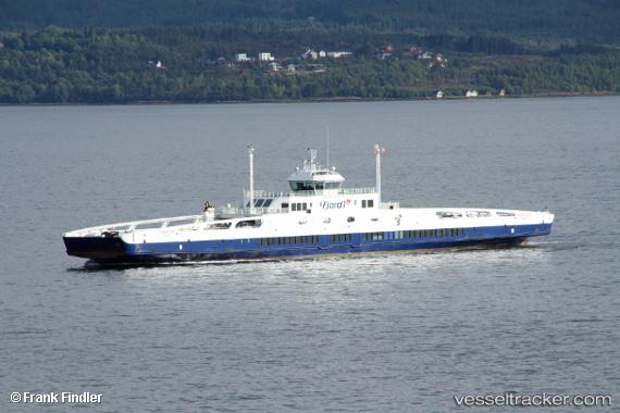
Vessel Fannefjord IMO: 9477127, MMSI: 258328500 Passenger Ro Ro Cargo Ship
UTC, 68.09231, 16.35709, course: 23, speed: 1.3
UTC, 68.08349, 16.19646, course: 236, speed: 11.5
2026-01-18 12:00:11 UTC, 68.09228, 16.35705, course: 204, speed: 0
Live AIS position:
UTC. Near Kjøpsvik),
updated 2026-01-18 12:00:11 UTC.
Find the position of the vessel Fannefjord on the map. The latter are known coordinates and path.
marine traffic ship tracker show on live map
The current position of vessel Fannefjord is 68.09228 lat / 16.35705 lng. Updated: 2026-01-18 12:00:11 UTCCurrently sailing under the flag of Norway
Fannefjord built in 2010 year
Deadweight:
857 tDetails:
Last coordinates of the vessel:
UTC, 68.04855, 16.08000, course: 5, speed: 0UTC, 68.09231, 16.35709, course: 23, speed: 1.3
UTC, 68.08349, 16.19646, course: 236, speed: 11.5
2026-01-18 12:00:11 UTC, 68.09228, 16.35705, course: 204, speed: 0