 vesseltracker.com
Live AIS position:
27.43018° N, 85.77806° W UTC. 144 nm S of Port Saint Joe),
updated 2025-11-19 20:14:49 UTC.
Find the position of the vessel Chem Stream on the map. The latter are known coordinates and path.
marine traffic ship tracker show on live map
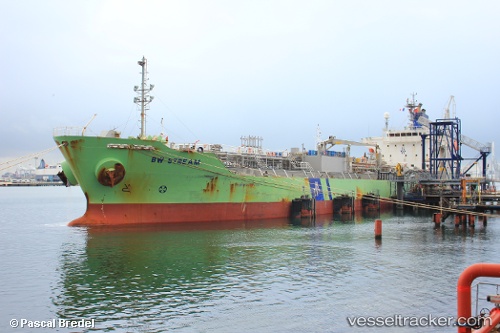
The current position of vessel Chem Stream is 27.43018 lat / -85.77806 lng. Updated: 2025-11-19 20:14:49 UTCCurrently sailing under the flag of Liberia
Chem Stream built in 2010 year
Deadweight:
19998 tDetails:
Last coordinates of the vessel:
UTC, 27.48876, -85.37989, course: 261, speed: 8.1UTC, 27.44770, -85.62323, course: 265, speed: 8.2
UTC, 27.43018, -85.77806, course: 28, speed: 0.4
2025-11-19 20:14:49 UTC, 27.43018, -85.77806, course: 28, speed: 0.4