 vesseltracker.com
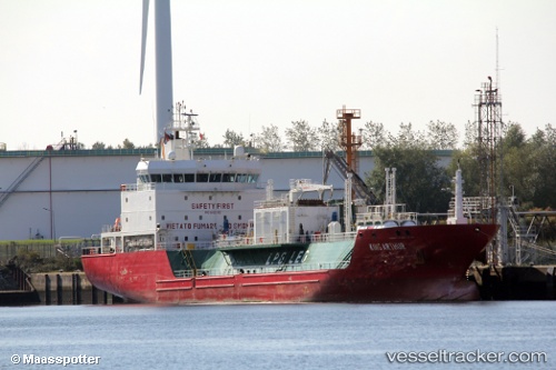
Vessel King Arthur IMO: 9480382, MMSI: 247293900 Lpg Tanker
UTC, 35.96167, -7.51833, course: -1, speed: 11
UTC, 35.90667, -7.54667, course: -1, speed: 11
2026-01-18 09:20:38 UTC, 35.81500, -7.62333, course: -1, speed: 12
Live AIS position:
UTC. 64 nm W of Gibraltar),
updated 2026-01-18 09:20:38 UTC.
Find the position of the vessel King Arthur on the map. The latter are known coordinates and path.
marine traffic ship tracker show on live map
The current position of vessel King Arthur is 35.81500 lat / -7.62333 lng. Updated: 2026-01-18 09:20:38 UTCDetails:
Last coordinates of the vessel:
UTC, 36.22167, -7.28333, course: -1, speed: 11UTC, 35.96167, -7.51833, course: -1, speed: 11
UTC, 35.90667, -7.54667, course: -1, speed: 11
2026-01-18 09:20:38 UTC, 35.81500, -7.62333, course: -1, speed: 12