 vesseltracker.com
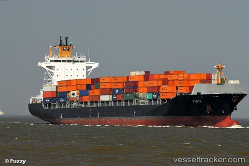
Find the position of the vessel Porto on the map. The latter are known coordinates and path.
marine traffic ship tracker show on live map
The current position of vessel Porto is 21.767633333333 lat / 114.32621833333 lng. Updated: 2025-09-16 08:29:23 UTCCurrently sailing under the flag of Liberia
Porto built in 2010 year
Deadweight:
39267 tDetails:
Last coordinates of the vessel:
UTC, 21.837986666667, 114.80124833333, course: 253, speed: 8.5UTC, 21.828633333333, 114.75790833333, course: 253, speed: 8.5
UTC, 21.786825, 114.53230333333, course: 251, speed: 8.3
2025-09-16 08:29:23 UTC, 21.767633333333, 114.32621833333, course: 252, speed: 12.2