 vesseltracker.com
Live AIS position:
26.00016° N, 92.63079° W UTC. 142 nm SW of Gulfmex Lightering Area),
updated 2025-11-23 16:28:29 UTC.
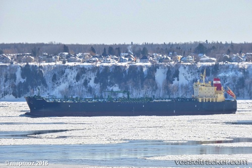
Find the position of the vessel Elandra Fjord on the map. The latter are known coordinates and path.
marine traffic ship tracker show on live map
The current position of vessel Elandra Fjord is 26.00016 lat / -92.63079 lng. Updated: 2025-11-23 16:28:29 UTCCurrently sailing under the flag of Marshall Is
Details:
Last coordinates of the vessel:
UTC, 26.00016, -92.63079, course: 299, speed: 11.3UTC, 26.00016, -92.63079, course: 299, speed: 11.3
UTC, 26.00016, -92.63079, course: 299, speed: 11.3
2025-11-23 16:28:29 UTC, 26.00016, -92.63079, course: 299, speed: 11.3