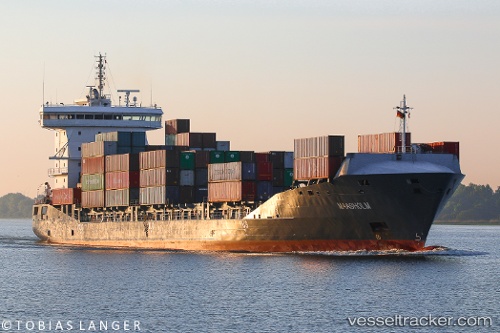
 vesseltracker.com
Live AIS position:
38.44642° N, 0.08088° W UTC. Near Villajoyosa),
updated 2025-11-24 04:09:39 UTC.
Find the position of the vessel '210101000' on the map. The latter are known coordinates and path.
marine traffic ship tracker show on live map
The current position of vessel '210101000' is 38.44642 lat / -0.08088 lng. Updated: 2025-11-24 04:09:39 UTCDetails:
Last coordinates of the vessel:
UTC, 38.94333, 0.55833, course: -1, speed: 14UTC, 38.89788, 0.52801, course: 212, speed: 14.3
UTC, 38.66036, 0.34186, course: 222, speed: 14.8
2025-11-24 04:09:39 UTC, 38.44642, -0.08088, course: 236, speed: 13.2