 vesseltracker.com
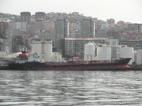
Vessel SAAGAR IMO: 9483774, MMSI: 518998467 Asphalt/Bitumen Tanker
UTC, 24.69212, 58.46273, course: 107, speed: 9.2
UTC, 24.67644, 58.51026, course: 111, speed: 9
2026-01-16 01:43:15 UTC, 24.60520, 58.71216, course: 117, speed: 8.9
Live AIS position:
UTC. 57 nm N of Fahal),
updated 2026-01-16 01:43:15 UTC.
Find the position of the vessel SAAGAR on the map. The latter are known coordinates and path.
marine traffic ship tracker show on live map
The current position of vessel SAAGAR is 24.60520 lat / 58.71216 lng. Updated: 2026-01-16 01:43:15 UTCCurrently sailing under the flag of Cook islands
SAAGAR built in 2009 year
Deadweight:
5887 tDetails:
Last coordinates of the vessel:
UTC, 24.77682, 58.24672, course: 105, speed: 9.2UTC, 24.69212, 58.46273, course: 107, speed: 9.2
UTC, 24.67644, 58.51026, course: 111, speed: 9
2026-01-16 01:43:15 UTC, 24.60520, 58.71216, course: 117, speed: 8.9